 http://www.nps.gov/lyjo/naturescience/images/LBJRanchAerial95.jpg
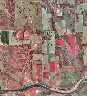
This is an infrared aerial photo map of Lyndon B Johnson's Historical Park. The map shows that the park is in 2 separate districts.
http://www.nps.gov/lyjo/naturescience/images/LBJRanchAerial95.jpg
No comments:
Post a Comment